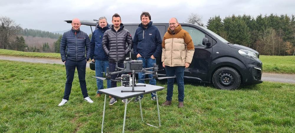
Now available throughout Poland, TPI is offering TrueView 3D Imaging Sensors. The TrueView solution offers innovative drone LiDAR and photogrammetry solutions integrated in lightweight payloads. It allows for fast, easily automated generation of true 3D colorized point clouds, oblique imagery, and orthophotos from a single drone flight.
TPI is also authorized to sell LP360 LiDAR & photogrammetry 3D point cloud software. LP360, an advanced desktop LIDAR software package, makes easy work of extracting information and generating deliverables in an intuitive GIS environment.
With a rich history covering more than three decades, TPI has consistently pushed the boundaries of measurement solutions in Central and Western Europe. The company has focused on supplying the newest and most advanced geospatial equipment to its customers. By staying at the forefront of technology and embracing innovation, TPI has built a reputation for excellence and reliability in the industry. Their dedication to continuous improvement has allowed them to adapt to the evolving needs of their customers and deliver products that meet the highest standards of precision and accuracy.
TPI’s decision to sign on as a TrueView and LP360 provider was driven by GeoCue’s wide product portfolio and reputation for delivering exceptional quality. The TrueView LiDAR products and LP360 software are known for their professionalism and industry-leading capabilities. By incorporating these advanced solutions into their offerings, TPI will empower its customers with state-of-the-art technology, enhancing their surveying and mapping capabilities.
As TPI’s UAV Product Manager, Marcin Jaloszynski, aptly stated, "We are excited about this new partnership, and look forward to growing the drone surveying equipment market."
The TrueView Lidar products and LP360 software will bring a host of benefits to TPI’s customers, who will now have access to highly accurate LiDAR scanners and comprehensive software tools that streamline data processing, analysis, and visualization. This partnership will enable TPI’s customers to leverage high-end geospatial products, resulting in improved efficiency, accuracy, and ultimately, better decision-making.
By bringing together TPI’s expertise and GeoCue’s industry-leading solutions, this collaboration promises to elevate the geospatial capabilities of customers across Poland, Czech Republic, Slovakia, Romania, Lithuania, and Ukraine. If you’d like more information on how to add drone surveying equipment to your workflow schedule a time to meet with one of our sales professionals.
About TPI
TPI is a well-established supplier of measurement solutions for surveying, construction, industry, precise agriculture. The company has its own network named TPI Netpro, consisting of 141 stations adopted for geodetic national list. TPI is a supplier of Topcon, Faro, Geoslam, DJI Enterprise, AgEagle, Quantum-Systems, Sokkia, Nivel System solutions for 3D scanning, documentation, construction and geodesy.
TPI has offices in Warsaw, Gdansk, Cracow, Wroclaw, and Poznań.
About GeoCue and Microdrones
GeoCue and Microdrones have joined together to bring geospatial experts the very best in drone surveying equipment, geospatial software, workflow, training and support for high accuracy LiDAR and drone mapping to help civil engineering and surveying professionals achieve successful data collection, processing, and management.
With TrueView drone LiDAR/Imaging sensors, LP360 point cloud data processing software, and fully integrated systems from Microdrones, we are the leader in LiDAR mapping processing in North America able to meet customers where they are in terms of technology adoption, budget, and resources.
To learn more about GeoCue, visit www.geocue.com.
To learn more about Microdrones, visit www.microdrones.com.
GeoCue Group Inc.
520 6th Street
USA35756 Madison, Alabama
Telefon: +1 (256) 461-8289
Telefax: +1 (256) 461-8249
https://www.geocue.com
Marketing-Direktor
E-Mail: bret.burghdurf@group-md.com
![]()