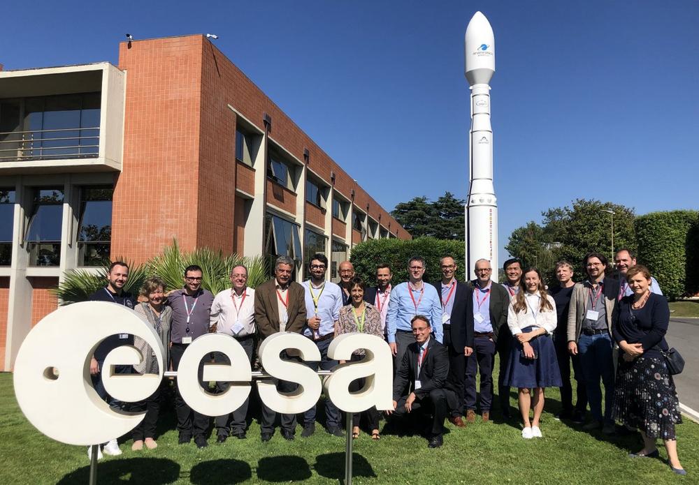
GAF AG und flyXdrive gelingt größtmögliche Flächennutzungskartierung in kürzester Zeit

Einzigartige Kartierung landwirtschaftlicher Nutzflächen in Sachsen durch cloudbasierte KI-Lösung AgroCrop® der GAF AG zusammen mit den Drohnenexperten von flyXdrive GmbH im Rahmen der Gemeinsamen Agrarpolitik (GAP) der EU. Der GAF AG, ein e-GEOS (Telespazio/ASI) Unternehmen und der Firma flyXdrive GmbH gelingt eine der bisher größten und schnellsten Flächennutzungskartierungen eines Bundeslandes. Dafür kombinieren sie auf einzigartige […]

continue reading

GAF AG und flyXdrive gelingt größtmögliche Flächennutzungskar-tierung in kürzester Zeit

Einzigartige Kartierung landwirtschaftlicher Nutzflächen in Sachsen durch cloudbasierte KI-Lösung AgroCrop® der GAF AG zusammen mit den Drohnenexperten von flyXdrive GmbH im Rahmen der Gemeinsamen Agrarpolitik (GAP) der EU. Der GAF AG, ein e-GEOS (Telespazio/ASI) Unternehmen und der Firma flyXdrive GmbH gelingt eine der bisher größten und schnellsten Flächennutzungskartierungen eines Bundeslandes. Dafür kombinieren sie auf einzigartige […]

continue reading

GAF AG and flyXdrive achieve the greatest possible land use mapping in the shortest possible time

Unique mapping of agricultural land in Saxony using the cloud-based AI solution AgroCrop® from GAF AG together with the drone expertise of flyXdrive GmbH, as part of the EU‘s Common Agricultural Policy (CAP). GAF AG, an e-GEOS (Telespazio/ASI) company, and the company flyXdrive GmbH, have achieved one of the largest and fastest land use mapping […]

continue reading

GAF AG awarded two contracts to assist the Suriname Ministry of Natural Resources

As part of the Suriname Competitiveness and Sector Diversification (SCSD) Programme being run by the World Bank, GAF AG, an e-GEOS (Telespazio/ASI) company, has been awarded the lead role in two consultancy contracts, with these being "International mining specialist to support the establishment and commissioning of the Minerals Institute of Suriname: Cadastre and Geological Survey" […]

continue reading

IRS-1C/1D satellite data to be freely available to support Climate Change/Green Deal activities in Europe

GAF AG and ESA have started a project to enable long term preservation of and public accessibility to the EO data archive of the Indian Remote Sensing satellites IRS-1C and IRS-1D. The data had been collected over Europe between 1996-2005, during the pre-Sentinel era. The preservation and free and open distribution of IRS-1C and IRS-1D […]

continue reading

GAF AG provides support to the European Union’s knowledge hub for science, space, and digitalisation

The European Commission has selected the Stantec team, featuring GAF AG as a partner, to support the EU knowledge hub dedicated to Science, Technology, and Innovation (STI), space and earth observation, and digital development. Known as the Knowledge Hub Digital (KHD), this facility aims to boost international cooperation and enhance knowledge sharing in the area […]

continue reading

New Horizon Europe project ‘EvoLand’ sets off to develop new prototype services for the Copernicus Land Monitoring Service

A consortium under the lead of VITO officially launched the new Horizon Europe project EvoLand (Evolution of the Copernicus Land Service portfolio) in Leuven (Belgium) on the 17th and 18th of January 2023. EvoLand will develop and test new and innovative methods and algorithms and implement a bundle of candidate Copernicus Land Monitoring Service prototypes. […]

continue reading

New Nigerian Online Mining Cadastre System based on GAF AG’s eMC+ officially launched

The Nigeria Mining Cadastre Office (MCO) in Abuja officially launched its new Online Mining Cadastre System, based on GAF’s eMC+ framework, in November 2022 at the 6th Nigeria Mining Week, in the presence of the Vice President, Prof Yemi Osinbajo, and the Director General MCO, Engr Simon Nkom. The new system connects the six newly-established […]

continue reading